
Geospatial
Products
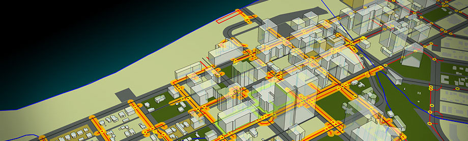
Autodesk® Map 3D 2020
- Utilize and maintain CAD and GIS data to support planning, design, and data management.
- USE FOR:
- Gathering existing conditions data
- Converting GIS data into CAD data
- WHAT IT DOES:
- Create thematic maps for analysis
- Perform data queries
- Build topologies
- Utilize geo-referenced imagery
- Connect to multiple external data sources
- Product only available in AutoCAD toolset.
AutoCAD® Raster Design 2020
Make the most of rasterized scanned drawings, maps, aerial photos, satellite imagery, and digital elevation models. With powerful raster editing and raster-to-vector conversion tools, AutoCAD® Raster Design software helps you to easily clean up, edit, enhance, and maintain scanned drawings and plans in a familiar AutoCAD® environment for use in AutoCAD®, AutoCAD® Architecture, AutoCAD® Civil 3D®, AutoCAD® Electrical, AutoCAD® Map 3D, AutoCAD® Mechanical, AutoCAD® MEP, AutoCAD® P&ID, and Autodesk® Topobase™ software.
Product only available in the AutoCAD toolset.
To purchase or for more information, please contact GDMS at 661.949.1025 or
E-mail: sales@gdms-1.com
GDMS | 42140 10th Street West, Lancaster, CA 93534 | Phone: (661) 949-1025 | gdms@gdms-1.com